| Home | > | List of locations | > | Mt Buchwa | > | image5 |
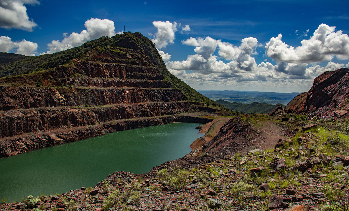
Mt Buchwa: image 5

| Photographer : | BT Wursten |
| Date: | 24 Jan 2014 |
| Description: | The Lake. The old mine shaft now flooded. |
| Altitude: | 1380 |
| Grid reference: | |
| Latitude and longitude: | -20.622100 30.324810 |
| Home | > | List of locations | > | Mt Buchwa | > | image5 |