| Home | > | List of locations | > | Pokoteke Gorge | > | image2 |
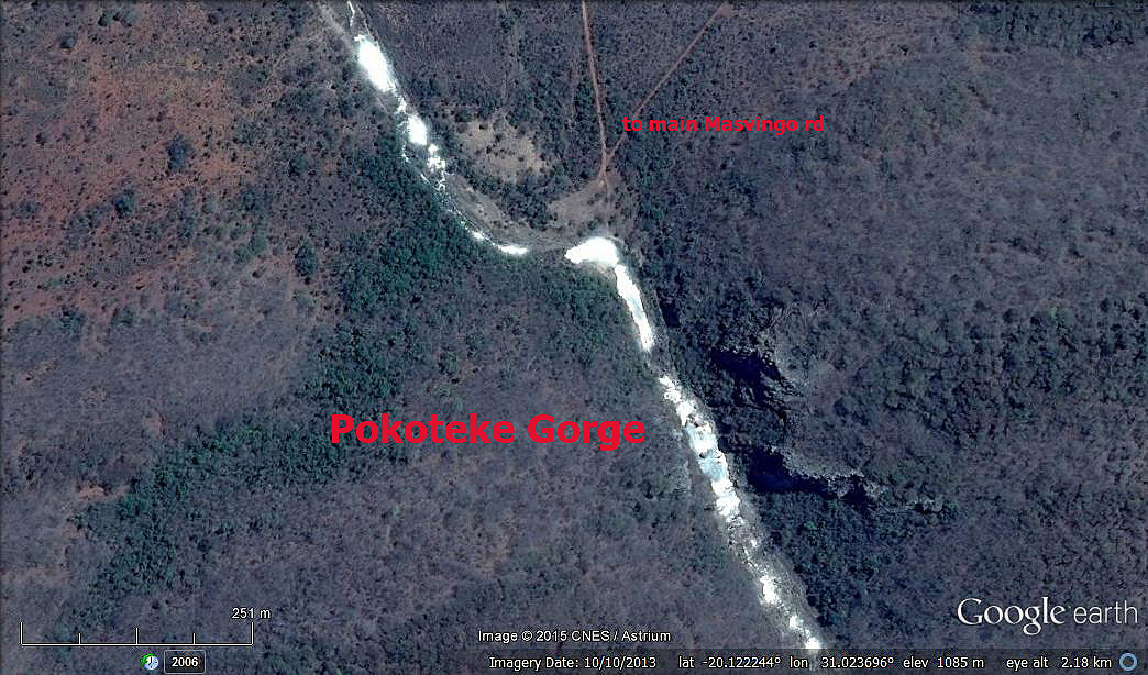
Pokoteke Gorge: image 2

| Photographer : | Google Earth |
| Date: | 2 Oct 2015 |
| Description: | Satellite map Pokoteke Gorge |
| Altitude: | 1082 |
| Grid reference: | |
| Latitude and longitude: | -20.122244 31.023696 |
| Home | > | List of locations | > | Pokoteke Gorge | > | image2 |